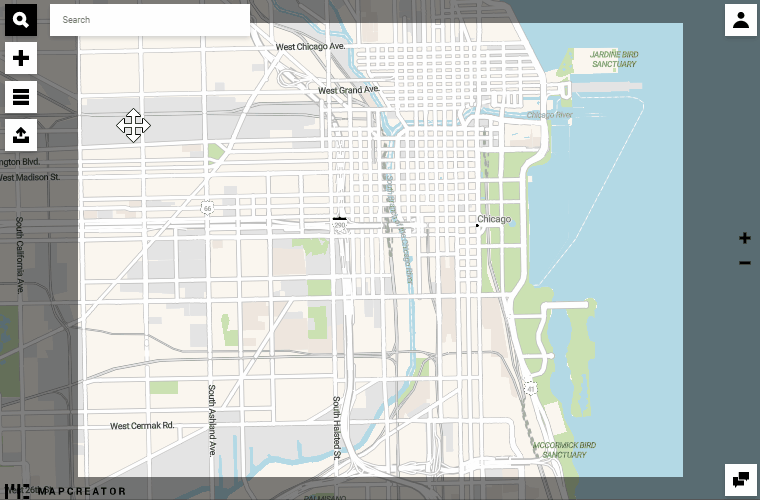
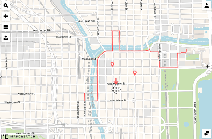
This documentation is always evolving.
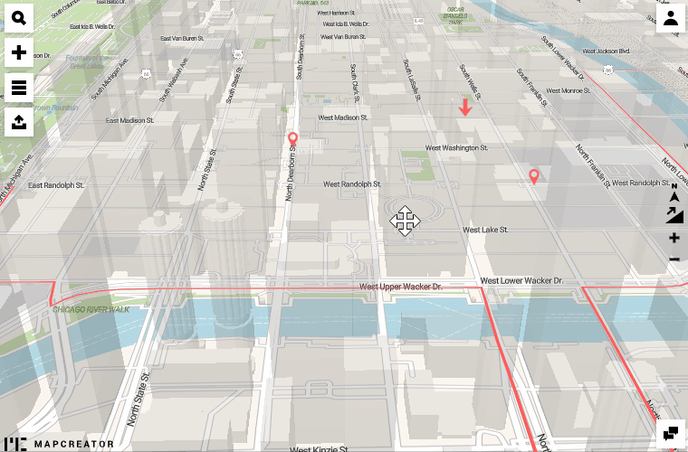
A printed map can have a great effect using 3D buildings. For this to happen, just enable the 3D buildings layer. Be aware of the fact that they are only going to show up once you are on a city level of your zoomed map. The specialty of this layer is that it becomes even more powerful when you tilt and rotate the map. To tilt and rotate the map, press the right click of your mouse and drag it to pan the map.
Also, if you place icons and draw lines, the effects of the semi-transparent 3D buildings will keep the annotations always visible.
To reset the tilt and rotation of your map, click on the buttons on the right side.
The maps can be fully downloaded as SVG, PNG and JPG to maintain the 3D buildings.