How can I tilt and rotate my map?
Sometimes a different orientation than the north-oriented map can give a nice gimmick.
This documentation is always evolving. This article focuses on the previous version of Mapcreator and its features. For this article about Mapcreator Next click here.
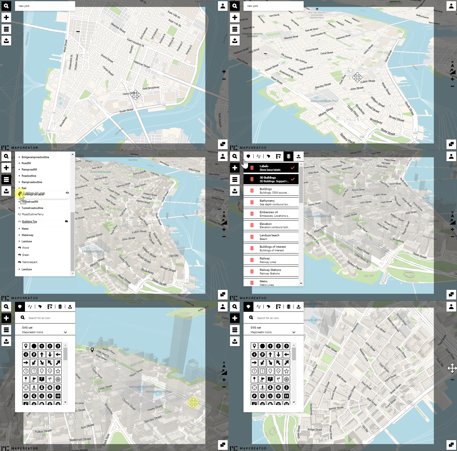
To tilt and rotate the map, press the right-click and drag your mouse to pan the map.
The North arrow, which can be added as an adornment, also automatically adapts according to the new orientation. Also, the value of the scale bar refers to the actual map position. Example: On a tilted map, the scale bar placed in the top right corner will have a different value than in the bottom left corner.
To reset the tilt and rotation of your map, click on the respective buttons on the right-hand side of the tool.

Pro-tip: you can change the order of the layers to reveal details that might be hidden due to added data sets.