Globe
In the Project settings, you can enable the Globe view.
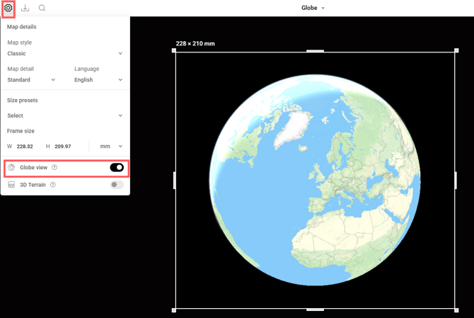
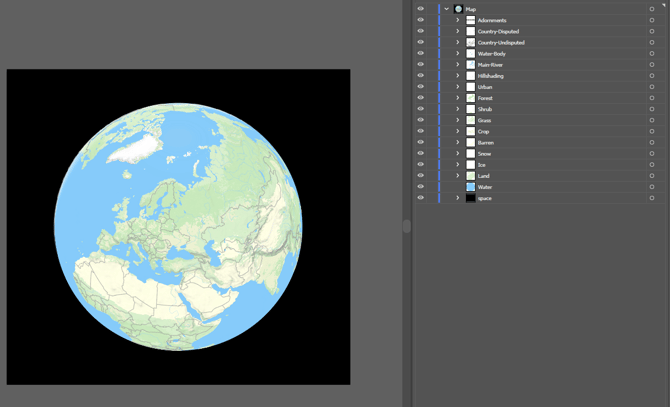
Zoom out to level 5 or lower to view the Globe. It can be exported in both raster and vector formats. Since all Mapcreator SVGs are layered, you can further edit your final map in Illustrator.
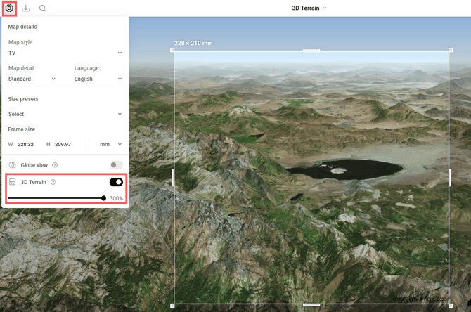
3D Terrain
The 3D Terrain is also available in the Project settings. You can keep the default elevation level or increase it up to 300% to make the effect more pronounced. Note that the effect is best visible when the map is tilted. This feature is supported for raster exports.
3D Buildings
Most map styles include a hidden 3D buildings layer by default. You can enable it by clicking the eye icon next to it in the Layers menu, then zooming in and tilting the map to view the effect.
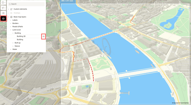
When exporting your map as an SVG, this 3D-building-PNG-layer remains editable, allowing you to further customize it in vector editing software.